A field guide for riders
See the route before you ride it.
Road, gravel, and mountain routes told as visual stories — the surface truth, the views, the coffee stop. Below is a real one. Ride it with your thumb.
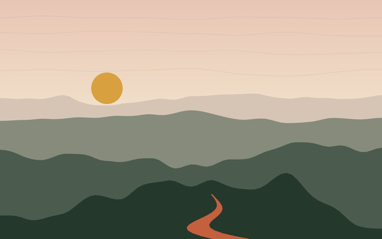
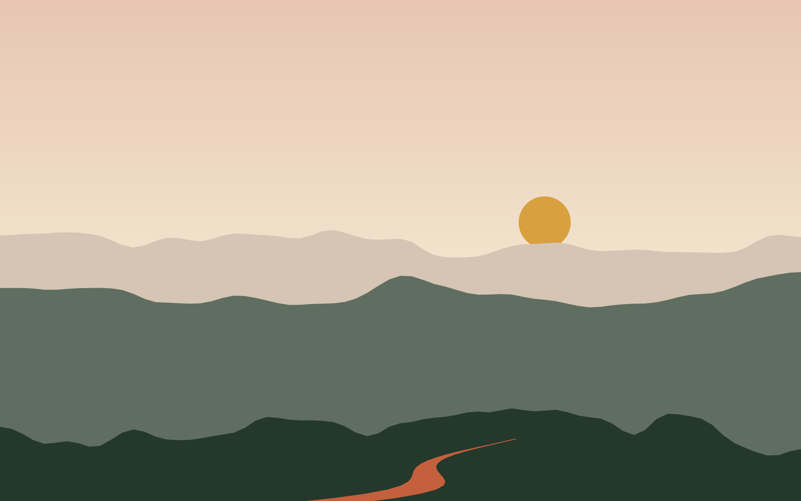
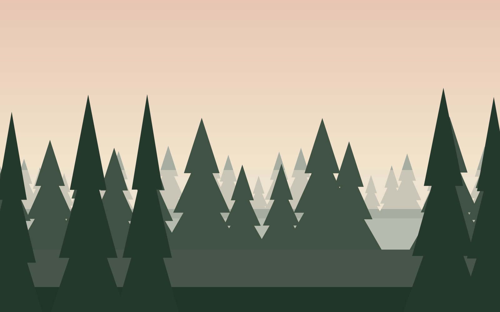
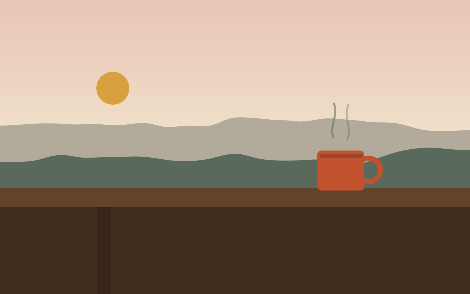
Rolling out on the creek path before the canyon swallows you.
km 0.7 · 1 of 6Loading map
1,656 m · km 0.0
2,589 m1,656 m
0.08.216.424.632.8 km
Drag anywhere on the elevation profile — the photos, map, and beta follow your thumb
Legend — how to read a route
- Surface truth
- Gravel 55%Paved 45%
- Every route declares its mix — champagne gravel or hike-a-bike, stated up front.
- The beta
- WaterCoffeeFood
- Water, coffee, and food pinned at the exact kilometer where they matter.
- The warnings
- HazardBail-outNo signal
- Hazards, bail-out roads, and dead zones — the notes a friend would insist on.
- Ridden and vouched for
- Beta by Débora
- One named curator per route — not an average of strangers.
- Your passport
- Routes you stamp, badges you earn, a map of everywhere you've ridden.
- The file is free
- GPX · FIT · no account
- Download any route, ride it on any head unit. The preview is the product.
The founding collection
The Colorado Classics — three rides, three surfaces, one range.
3 routes · 78.8 km · 1,885 m gain · Supported by Cinder Coffee Roasters
Ride the collection
Curator-led, not crowd-sourced
Meet Débora, founding curatorEvery route on rideSOLTA is ridden, written, and vouched for by one person with a name — because the notes a friend gives you beat an average of strangers.